Basement-Hosted Uranium: What Drill Results in the Athabasca Really Prove
June 24, 2026
Vertical Integration in the Commodities Sector: What Drives Billion-Dollar M&A
June 24, 2026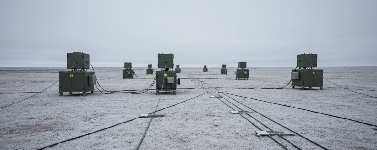
When deep geophysics meets algorithms
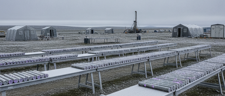
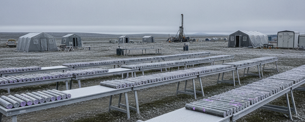
Drilling only makes sense once you have a reasonable idea of where something might be. For decades, that meant labor-intensive manual interpretation: geologists evaluated historical data, plotted structures on maps, and made calls based on experience. Uranium junior miners are increasingly combining magnetotelluric surveys with algorithm-assisted target generation to reassess old exploration data and direct drilling campaigns more precisely — a shift driven less by enthusiasm for technology than by the straightforward economics of what a misdirected drill hole costs.
Digital exploration methods are moving into the early stages of resource development, and that has real consequences for how exploration capital gets spent. Investors who follow uranium exploration stocks can no longer afford to ignore these methods entirely.
MT and AI: what each actually does
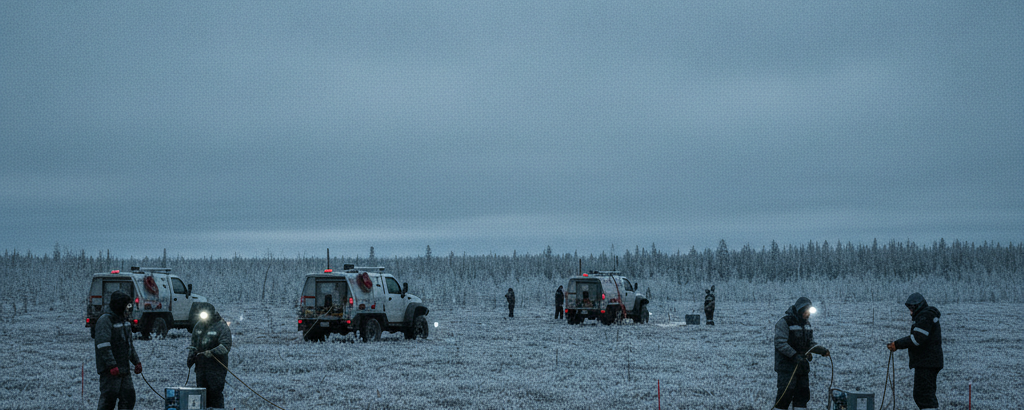
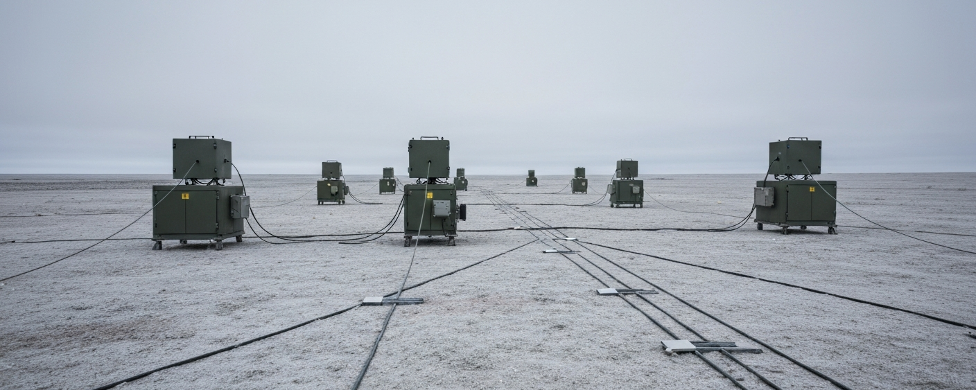
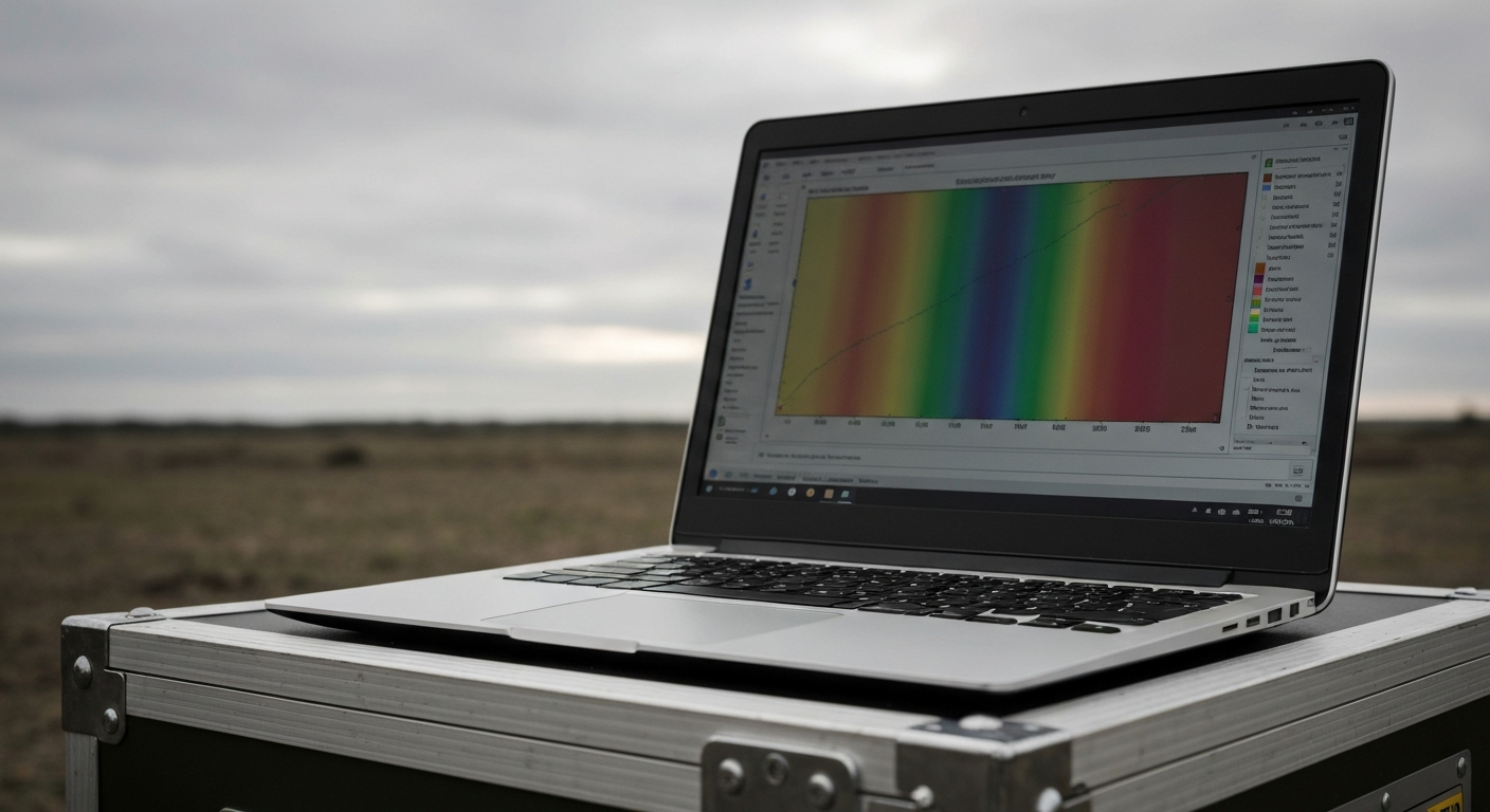
Magnetotellurics is a passive geophysical method that uses the Earth’s natural electromagnetic fields to measure the electrical conductivity of the subsurface at depth. Unlike active seismic methods, it requires no artificial signal sources. Survey stations record variations in the natural Earth field over time and produce deep resistivity profiles that can reveal geological structures seismic or purely magnetic methods cannot capture.
For uranium exploration this matters in a specific way: economically interesting deposit types such as unconformity-related uranium deposits in the Athabasca Basin are closely tied to folding and fault structures in the rock. MT can help identify such structures even at considerable depth, without expensive preliminary drilling.
The second component is algorithm-assisted target generation. Large datasets of historical drill logs, geochemical records, and geophysical measurements are fed into machine learning models. The algorithm searches for patterns that correlate with known mineralizations and produces a ranked list of new drill targets rather than a hand-picked shortlist.
What this methodology means for a junior miner’s risk profile
MT surveys and algorithmic targeting affect both sides of the risk equation. More precise target selection means exploration capital can be directed more purposefully. A single drill hole in crystalline bedrock can easily cost several hundred thousand dollars, and a misdirected hole consumes not only money but time and investor confidence.
Deep geophysical data does not replace geological judgment, but it informs that judgment better than simply working through old anomaly lists. Whether an anomaly has a structural basis can at least be assessed with greater confidence using modern geophysics than without it.
For investors, companies that document such an approach transparently in technical reports provide a verifiable rationale for their drill targets. That is a quality indicator, not a guarantee. A well-reasoned target can still come up dry.
| Method | Depth range | Advantage for uranium exploration |
|---|---|---|
| Airborne magnetics | Surface to ~500 m | Rapid area mapping, cost-effective |
| Magnetotellurics (MT) | 100 m to several km | Detects deep structures and fault zones |
| AI target generation | Data integration across all levels | Prioritization based on historical correlations |
Old data, new use
In Canada, Australia, and parts of Central Africa, extensive drilling programs carried out from the 1960s onward produced results that were never fully analyzed. Computing capacity was limited, integration tools did not exist, and in several cases a commodity downturn ended the work before the analysis could follow.
Those old datasets can now be revisited. Machine learning models can process thousands of drill logs and survey records in hours. A geology team doing the same work manually would need months. Projects dormant for years can therefore be screened for genuine potential without a large upfront drilling commitment.
The oil and gas industry went through something comparable when seismic reprocessing technology made it possible to extract 3D interpretations from old 2D data. Overlooked reservoir candidates became viable prospects. The raw data had not changed; the processing had.
What investors can take away
Whether a company uses MT surveys and algorithmic targeting says nothing definitive about whether a project will succeed. It does say something about how management handles exploration capital, and in the junior miner space, methodological discipline is far from a given.
When assessing a uranium junior, it is worth checking whether geophysical surveys are described in any detail in published technical reports, and whether there is a traceable rationale for why a specific target was drilled. If neither question has an answer, that absence is itself informative. Short-term market movements regularly obscure the difference between careful and arbitrary target selection, but across multiple drilling campaigns, and the capital burned on them, that difference tends to show up in the numbers.
Key terms
- Magnetotellurics (MT)
- A passive geophysical method that uses natural electromagnetic signals to measure the electrical conductivity of the subsurface at various depths, allowing inferences about geological structures down to several kilometers.
- AI target generation
- The use of machine learning models to identify patterns in large exploration datasets that correlate with known mineralizations, producing a ranked list of potential drill targets.
- Unconformity-related uranium deposit
- A deposit type where uranium mineralization occurs along geological unconformities, which are contact surfaces between rocks of different ages. The Athabasca Basin in Saskatchewan, Canada, is the best-known example.
- Historical data
- Older exploration results such as drill logs, geochemistry records, and survey data that have not been verified to current standards such as NI 43-101. They cannot be used as current resource estimates without further work, but they provide useful starting hypotheses.
- Resources vs. reserves (NI 43-101)
- Under the Canadian NI 43-101 standard, “Resources” (Inferred, Indicated, or Measured) are geological estimates of mineral content. “Reserves” (Proven or Probable) are the economically extractable portion following technical and economic assessments. The two terms are not interchangeable.
- Geophysical survey
- A systematic measurement of physical subsurface properties such as magnetism, electrical conductivity, or gravity across an area, used to investigate geological structures before drilling begins.
- Drilling cost per meter
- A measure of how efficiently a company allocates its exploration budget. A company that encounters relevant mineralizations more often per hole drilled is getting more out of each dollar spent.
⚠️ Important notice: This article is for informational and educational purposes only. It does not constitute investment advice, a recommendation, or a solicitation to buy or sell any security. Investments in small-cap exploration and mining companies carry a high risk, including the potential total loss of capital. Before making any investment decision, consult a registered financial advisor and conduct your own analysis. Boersen Post Team is not responsible for decisions taken based on the content published here.