Porphyry Systems: When One Drill Hole Values Three Metals
July 21, 2026
Grade and Thickness: What Drill Intervals Really Tell Us About Lithium Juniors
July 23, 2026
The invisible map beneath the Athabasca Basin
In northern Canada, every exploration season starts with the same question: where do we drill? The answer is expensive either way. A single drill hole in the remote Athabasca Basin (Saskatchewan) can run to CAD 300,000 or 500,000, before a gram of ore reaches the surface. Many uranium junior miners therefore put serious money into geophysical surveys before advancing a meter into the ground. One method now regularly deployed is three-dimensional Direct Current Induced Polarization, or 3D-DCIP.
F3 Uranium Corp. applied this technology over the so-called Tetra Zone ahead of its Summer 2026 drilling program at the Patterson Lake North project (PLN) in the western Athabasca Basin. The result is a set of geophysically defined target areas established before the drill rigs start turning — an approach that has real consequences for investors trying to evaluate such projects.
What DCIP measures — and why the Athabasca Basin is special
The Athabasca Basin is a sedimentary basin sitting on top of much older basement rock. Many of the world’s richest uranium deposits — including some with grades well above one percent uranium — occur right at the boundary between these two rock types, often hundreds of meters down. Conventional surface observations offer very little at those depths.
DCIP works on two physical principles simultaneously:
- Resistivity measurement: Different rock types conduct electrical current at different rates. Graphite-bearing fault zones, regarded in Athabasca exploration as classic indicators of uranium mineralization, often show low resistivity.
- Induced Polarization (IP): Certain minerals — especially sulfide accessory minerals — store an electrical charge when direct current passes through them and release it with a time delay. This charge-up behavior reveals where electrochemically active minerals sit in the subsurface.
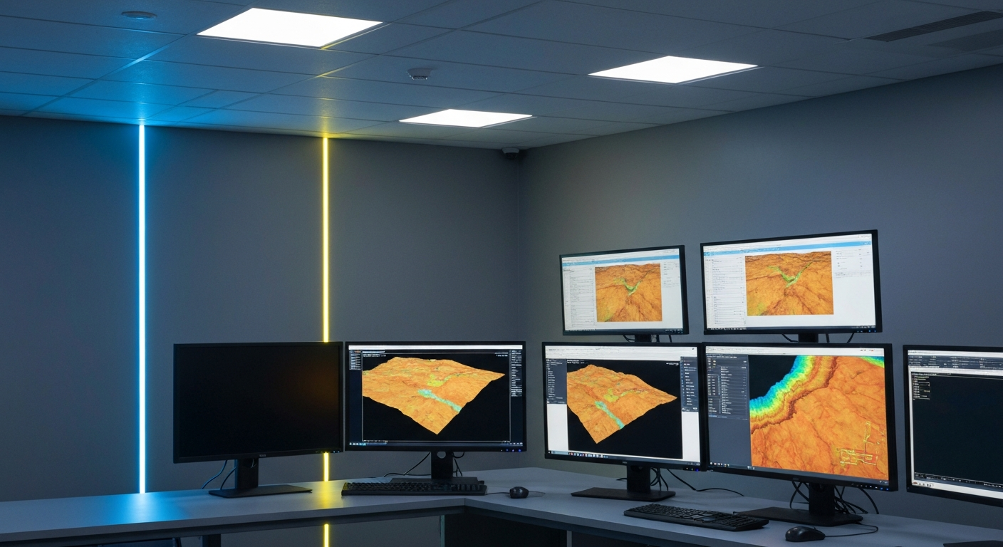
The three-dimensional interpretation stitches multiple parallel survey profiles into a spatial model. Rather than a flat cross-section, the output is a volumetric image that constrains target structures more precisely than older 2D profiles.
From anomaly to drill target: how the decision process works
Exploration follows a staged filtering process. It starts with many square kilometers of license area; by the end, only a handful of drill collar locations survive. Geophysics occupies the middle stage of that funnel.
The starting point is regional prospecting: satellite data, historical reports, and airborne magnetics provide a first pass. In the Athabasca context, the main interest lies in fault systems that served as conduits for hydrothermal fluids — the fluids that dissolved uranium from the basement rock and re-deposited it at favorable sites.
Ground-based geophysics comes next, and this is where 3D-DCIP earns its place. Electrodes are laid out at regular intervals across the terrain, current is injected, and the subsurface response is measured. It costs more than airborne surveys but delivers substantially higher resolution.
Drilling is the most expensive link in the chain. A major mining company running dozens of holes in parallel can absorb a few structurally unproductive locations as a statistical outcome. A junior miner with limited capital cannot. Collecting geophysical data before drilling — and using it to concentrate the budget on the strongest targets — is less about scientific elegance and more about not burning through cash on guesswork. A documented geophysical rationale also makes conversations with financiers considerably more straightforward.
| Exploration Stage | Method | Typical Cost | Depth of Insight |
|---|---|---|---|
| Regional Prospecting | Airborne Magnetics / Radiometrics | Low | Coarse |
| Target Definition | Ground DCIP, 3D Resistivity | Medium | High |
| Drilling & Sample Analysis | Diamond Drilling + Laboratory Assay | High | Precise |
Reading geophysical pre-exploration as an investor
For investors in uranium junior miners, the question is not only “Has the company drilled?” but “Why did it drill there?” A program built on documented geophysical data is fundamentally different from one conducted on untested ground with no visible rationale behind the collar locations.
When going through project reports and press releases, a few things are worth checking:
- Were targets geophysically prioritized before drilling? Anomaly maps and profiles should appear in the technical reports, not just in a press release headline.
- Do the geophysical anomalies line up with known zones? A new 3D-DCIP survey that spatially overlaps with already confirmed mineralization adds geological plausibility to adjacent targets.
- How is the drilling budget being used? Short verification holes and a long step-out program aimed at resource definition are completely different exercises, and a company’s reporting should make clear which one is underway.
How a company handles negative results is also telling. If a geophysical target turns out to be barren on drilling, that is not a failure — it tightens the model and frees the follow-up budget for somewhere more productive. Companies that report dry holes in plain, factual terms, rather than burying the news or over-explaining it, tend to build more durable credibility with long-term shareholders.
Geophysics as an argument, not a guarantee
3D-DCIP surveys show that a company is making drill decisions on technical grounds rather than instinct or legacy acreage. That narrows the odds of an expensive miss, though it does not remove the underlying geological uncertainty. Strong geophysical signatures can come from graphite, pyrite, or other uneconomic minerals that respond electrically much like uranium-bearing structures do.
For investors who follow junior miners’ drilling programs, understanding how geophysical methods work gives you a way to judge whether a drilling program has a reasoned basis, independent of whatever the share price is doing that week.
Key terms in uranium exploration
- 3D-DCIP (Direct Current Induced Polarization)
- A geophysical survey method that captures the electrical resistivity and charge-up behavior of the subsurface in three dimensions to locate mineral-bearing structures.
- Resistivity
- A measure of the specific electrical resistance of different rock layers; graphite and ore zones often display significantly lower values than the surrounding rock.
- Athabasca Basin
- A sedimentary basin in northern Saskatchewan, Canada, that hosts some of the world’s highest-grade uranium deposits.
- NI 43-101
- The Canadian regulatory standard for technical reports in the resource sector; governs the conditions under which resource and reserve categories may be publicly disclosed.
- Inferred Resource
- The lowest confidence class of a mineral resource under NI 43-101; based on limited drill data and geological extrapolations, it is not a reserve and is considered an uncertain estimate.
- Step-out drill hole
- A drill hole positioned outside a known mineralized zone to test how far that zone extends.
- Assay
- Geochemical analysis of rock samples or drill core to determine metal grades; the basis of every resource estimate.
- Target (exploration target)
- A geophysically or geologically defined area prioritized for drilling before any resource has been established.
⚠️ Important notice: This article is for informational and educational purposes only. It does not constitute investment advice, a recommendation, or a solicitation to buy or sell any security. Investments in small-cap exploration and mining companies carry a high risk, including the potential total loss of capital. Before making any investment decision, consult a registered financial advisor and conduct your own analysis. Boersen Post Team is not responsible for decisions taken based on the content published here.