Penny Stocks on the TSX-V: Opportunities and Risks Explained
May 10, 2026
ASX Small Caps vs. Major Miners: Who Benefits More from Rising Copper Prices?
June 8, 2026When the Subsurface Becomes a Data Question
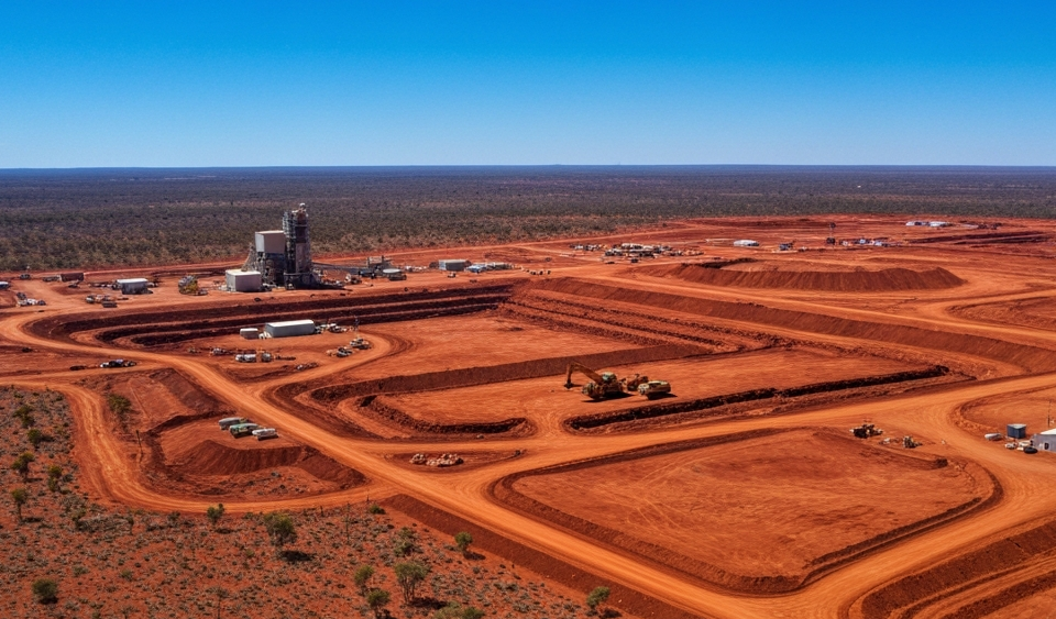
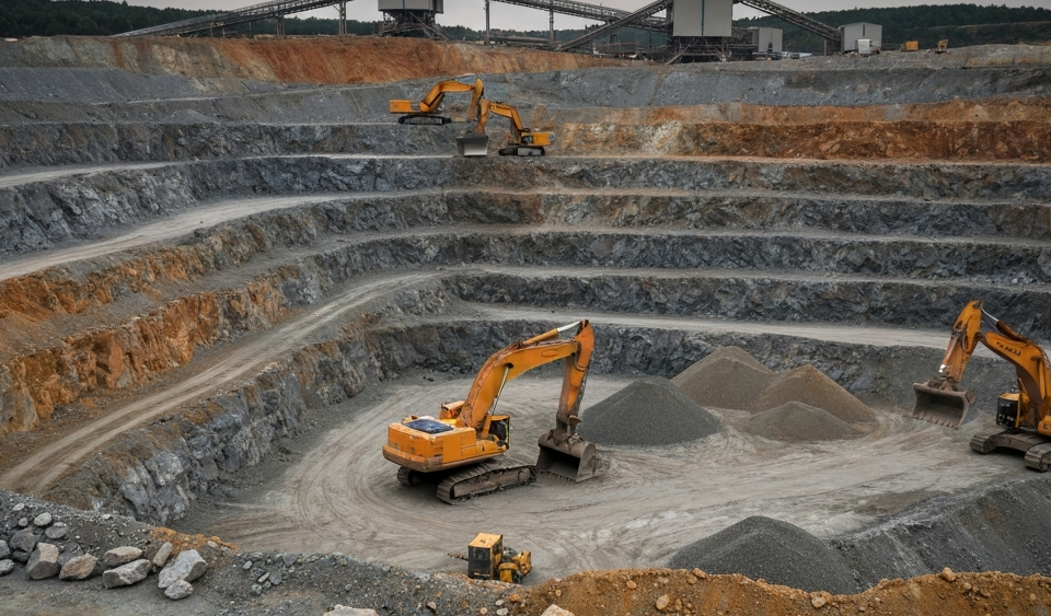
For decades, mineral exploration followed a comparatively straightforward principle: geologists mapped the terrain, geophysicists measured magnetic and electrical anomalies, and ultimately the drilling program decided whether anything of value actually lay underground. This process is expensive, slow, and fraught with risk. A single meter of drilling in remote terrain can cost several hundred euros — and many drill holes return disappointing results.
Now, a wave of digital tools is fundamentally changing this workflow. Artificial intelligence that re-analyzes historical drilling data, and muon imaging that makes ore structures visible within rock the way an X-ray makes bones visible, are no longer science fiction. They are already being deployed — and this has concrete implications for the economics of exploration projects and, by extension, for the valuation of junior miners on exchanges such as the TSX-V or the ASX.
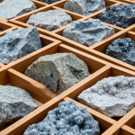
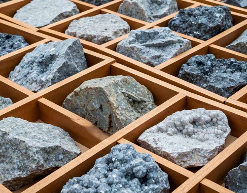
Data Graveyards and the Legacy of Past Drilling Campaigns
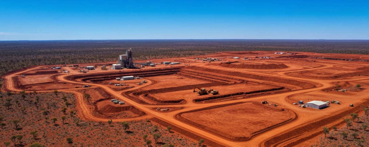
To understand why these technologies are becoming relevant right now, it is worth looking back at the history of the sector. Since the 1950s, millions of drill meters have been completed, analyzed, and documented worldwide. The results are stored in physical archives, old PDF scans, handwritten logs, and regional government databases — often unstructured, difficult to search, and left unexamined for years.
In the past, the systematic evaluation of these vast data sets simply failed because of the human effort required. A geologist cannot, in any reasonable timeframe, re-analyze thousands of drill cores and identify patterns that extend across individual projects. This is precisely where the application of machine learning comes in: algorithms are trained to read, normalize, and statistically evaluate lithological descriptions, geochemical values, and structural-geological characteristics from heterogeneous sources.
The result is what are known as predictive maps — visual probability models that indicate where mineralization is most likely to occur beneath the surface. Instead of drilling blindly, an exploration company can target its efforts more precisely. This significantly reduces the number of drill holes required and, with it, the overall cost of a program.
Muon Imaging: Cosmic Radiation as a Geological Tool
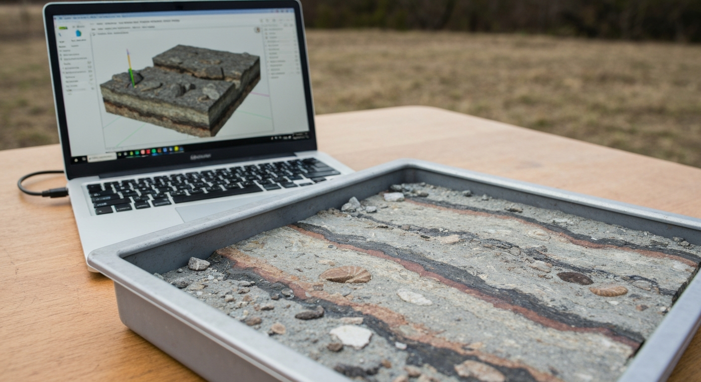
Alongside data analysis, a second technique is coming into focus that sounds unusual at first glance: muon imaging. Muons are subatomic particles that are created when cosmic radiation strikes Earth’s atmosphere. They penetrate matter — including rock — to enormous depths, and are attenuated to varying degrees depending on the density of the material they pass through.
Muon imaging exploits this physical effect to produce three-dimensional density images of the subsurface. The principle can be compared intuitively to an X-ray: just as differently dense body tissues absorb X-rays to different degrees, dense concentrations of ore within rock leave a clearly identifiable signature in the muon flux.
For exploration, this means that specialized detectors are positioned in existing boreholes or at the surface and measure the muon flux from multiple angles over a period of weeks. The collected data yields a three-dimensional picture of the density distribution underground — without a single new drill meter. This technique is particularly promising for sulfide copper or zinc deposits, which stand out from the surrounding host rock due to their higher density.
A practical example illustrates the added value: suppose a junior explorer holds a project with two old exploration drill holes from the 1980s that showed no economic mineralization at the time. Muon imaging could reveal today whether dense zones still exist laterally or at greater depth — zones that were simply never intersected back then. This enables a more precise decision: drill further or walk away — before additional capital is committed.
| Method | Typical Application | Key Advantage |
|---|---|---|
| AI analysis of historical data | Prioritizing targets ahead of the drilling program | Reduces the number of drill holes required |
| Muon imaging | Density visualization within existing project areas | No new drill meters required |
| Airborne geophysics (magnetics, EM) | Large-scale initial survey of prospective areas | Rapid area-wide coverage |
What More Efficient Exploration Means for Small-Cap Investors
For investors who invest in junior explorers or are considering doing so, the adoption of these technologies reshapes the risk profile of such investments on several levels.
First, so-called discovery costs decline — the average costs incurred to define an economically interesting deposit. When a company drills more precisely with the same amount of capital and delivers actionable results sooner, the runway of available capital is extended. This is particularly relevant during periods when equity financing is expensive or difficult for small companies.
Second, meaningful results can be communicated earlier. On exchanges where junior explorers are heavily dependent on news flow, a positive muon imaging result can trigger a similar share price catalyst as a drill result — at significantly lower capital expenditure. This creates new milestones along a project’s development path.
Third — and this is a frequently underestimated point — the use of modern methods signals to institutional observers a more professional approach to project management. In a sector where information asymmetries are significant, the adoption of technology can be read as a quality indicator of management.
That said, the same caveat applies here: technology is no guarantee of success. Predictive maps can be wrong; muon detectors measure density, not metal grade. A dense zone underground could be ore — or simply another heavy rock unit with no economic value. The interpretation of data remains a matter of geological expertise, and drilling risk can be reduced, but never eliminated.
New Tools, Enduring Fundamental Questions
AI-assisted data analysis and muon imaging represent a genuine methodological shift in mineral exploration. They change how targets are defined, how quickly results become available, and how efficiently capital is deployed. For a sector that is structurally characterized by high risk, long timelines, and limited financing sources, these are far from marginal improvements.
For investors tracking small caps in the commodities space, it is worthwhile to evaluate a company’s technological approach as a standalone assessment criterion — alongside project geology, management experience, and capitalization. The critical question always remains: is the technology being used to sharpen well-founded geological hypotheses, or is it substituting for a missing geoscientific foundation?
Keeping that question in mind when reading company announcements will better equip investors to distinguish between substantive technological value-add and the mere deployment of buzzwords.
Key Terms Explained
- Muon Imaging (Muon Tomography)
- An imaging technique that uses naturally occurring subatomic particles (muons) to render density variations in the subsurface in three dimensions. Similar in principle to X-ray imaging, but with a significantly greater penetration depth.
- Machine Learning in Exploration
- The application of algorithms that identify patterns in large datasets of historical drill logs, geochemical analyses, and geophysical measurements, and build probability models for mineralization.
- Discovery Costs
- The average cost in dollars per ounce (or tonne) incurred to define an economically interesting resource. An important efficiency indicator in the exploration sector.
- Predictive Map
- A computer-generated map that visualizes, based on historical and current data, the statistical probability of mineralization occurring within a given area.
- Airborne Geophysics
- Geophysical measurements conducted from aircraft or drones to map the magnetic, electromagnetic, or gravimetric properties of the subsurface across large areas.
- Lithology
- The description of the mineralogical and physical properties of rocks. Drill logs document which rock types were encountered at which depths.
- Information Asymmetry
- A condition in which different market participants (e.g., management vs. investors) have unequal access to relevant information about a company or project — a particularly pronounced phenomenon in the junior mining sector.
⚠️ Important notice: This article is for informational and educational purposes only. It does not constitute investment advice, a recommendation, or a solicitation to buy or sell any security. Investments in small-cap exploration and mining companies carry a high risk, including the potential total loss of capital. Before making any investment decision, consult a registered financial advisor and conduct your own analysis. Boersen Post Team is not responsible for decisions taken based on the content published here.