Gold Projects in West Africa: How NI 43-101 Resources Determine Project Value
July 5, 2026
Strategic Anchor Investment: What C$140M Does to a Copper Junior
July 6, 2026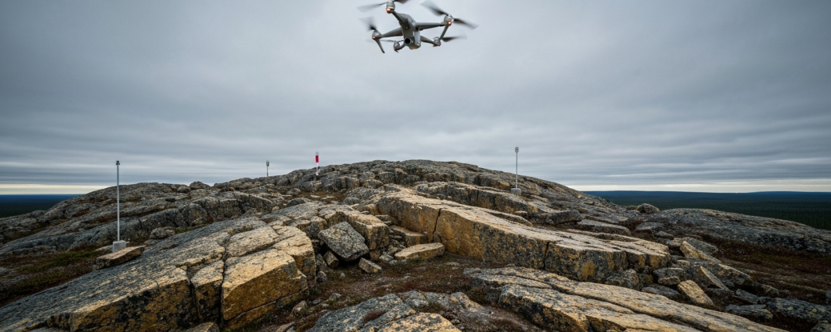
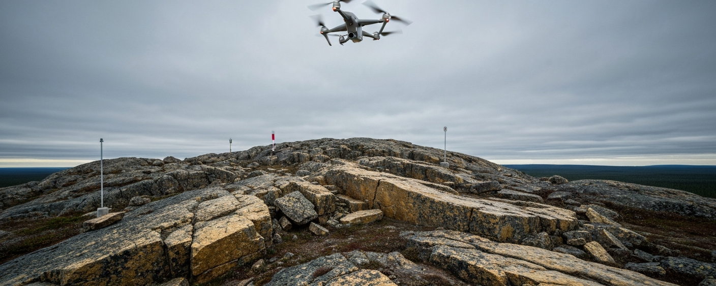
When drones prepare the ground for geologists
Before a single drill operator sets a bit to rock, explorers need to know where it is worth drilling. That question costs more than it sounds: a diamond drilling program can easily consume hundreds of thousands of dollars with nothing to show for it. This is where modern geophysics comes in. Drone-based magnetometry surveys are among the most widely used tools in early-stage exploration, particularly in the gold sector. What is behind the method, and why should investors bother understanding it?
Magnetometry in gold exploration: a classic principle, newly applied
Magnetometry is not a new concept. For decades, geophysicists have measured the magnetic properties of rocks to map subsurface structures. The physical principle: different minerals, including magnetite, respond with varying intensity to Earth’s magnetic field. Disturbances in that field, known as magnetic anomalies, can point to tectonic structures such as faults or intrusions. Such structures are interesting in gold regions because hydrothermal gold systems frequently form along fault zones.
Traditionally, magnetometry measurements were carried out either on foot or with manned aircraft. Ground surveys are precise but slow, and difficult in rugged terrain. Airborne surveys with manned aircraft are faster but expensive, and flight altitudes are rarely low enough to resolve fine geological detail.
Drones fill that gap. They fly at low altitudes, often just 30 to 60 metres above the ground, delivering significantly higher spatial resolution than conventional airborne surveys. They are also considerably cheaper to operate than manned aircraft. In the Timmins Corridor in Ontario, drone MAG surveys have become a common way to focus drilling programs on specific targets rather than relying on gut feel.

How a typical drone survey works and what the data show
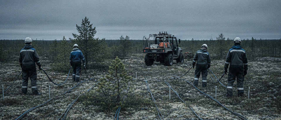
In practice, a drone equipped with an onboard magnetometer flies a pre-defined line pattern over the exploration area. The spacing between flight lines, known as line spacing, determines how detailed the resulting map is. Tighter lines deliver higher resolution but require more flight time. A typical drone survey uses line spacing of 50 to 100 metres; for fine-detail work, significantly narrower spacing may be chosen.
The result is a map of magnetic anomalies. Geophysicists and geologists then interpret this together: linear anomalies may indicate fault zones, while circular patterns can suggest intrusive bodies. In a known gold region, such anomalies can be combined with historical drill results and geological maps to prioritize drill targets.
A concrete example: an explorer maps a known fault zone along which smaller gold occurrences have previously been found. The drone MAG survey shows that the fault continues into a previously untested area, accompanied by a distinct magnetic anomaly. Without the survey, the explorer might have drilled elsewhere. With it, the budget goes toward a more specific target.
| Method | Height above ground | Relative cost | Resolution |
|---|---|---|---|
| Ground magnetometry | ~1–2 m | Low–Medium | Very high (slow) |
| Manned airborne survey | ~100–300 m | High | Medium |
| Drone MAG survey | ~30–80 m | Medium | High (fast) |
What this means for small-cap investors
Anyone following junior explorers should understand at what point in the exploration cycle a company currently sits. Geophysical surveys typically come early, before the first drilling program or between campaigns when new targets need to be identified. This phase is cheap relative to drilling, but also the most uncertain: the data suggest potential, nothing more.
A junior explorer running a drone survey sends the market two signals: it is not drilling blindly, and it is still at a very early stage with all the associated risks. This phase does not constitute a resource definition. In Canada, the official classification of mineral resources is governed by National Instrument 43-101 (NI 43-101). Only once drill results and a technical report from an independent Qualified Person are available can resource categories such as Inferred or Indicated be declared. Geophysics alone gets you nowhere near that threshold.
That said, the quality of a geophysical study does say something about the exploration team. A survey that targets known geological structures and systematically narrows drill targets will improve the hit rate of a subsequent drilling program. Compare that to a drilling campaign with no prior geophysical work: you are essentially picking locations on a map and hoping.
Drone MAG as one step in a longer exploration process
The growing use of drone-based geophysics has less to do with enthusiasm for technology than with capital scarcity. For junior explorers, every exploration dollar has become harder to justify. Methods that are faster and cheaper than conventional alternatives, while delivering comparable data quality, have gained ground for that reason.
The Timmins area in Ontario is a good illustration. It sits within the Abitibi Greenstone Belt, a major gold-bearing geological formation spanning Ontario and Québec. Because the region is geologically complex and has been tested extensively over decades, precise tools are needed to identify still-untested anomalies. A drone MAG survey over a known fault zone can help identify lateral extensions of known structures where no drill has yet gone.
A drone survey alone will not move a share price. Whether it adds value depends on how the company uses the data and which geologists handle the interpretation and, ultimately, on whether a drilling program follows that actually tests the anomalies identified.
Terms worth knowing
- Magnetometry
- A geophysical measurement method that records variations in Earth’s magnetic field to map subsurface geological structures. Certain minerals such as magnetite produce measurable deviations.
- Magnetic anomaly
- A deviation from the expected background value of Earth’s magnetic field. Anomalies can indicate fault zones, intrusions, or altered rock formations.
- Drill target
- A location prioritized for drilling on the basis of geophysical, geochemical, or geological data. A drill target is a hypothesis. Only the drill result confirms or refutes it.
- NI 43-101
- Canadian regulatory standard (National Instrument 43-101) for the disclosure of mineral resources and reserves. Geophysical data alone do not meet the requirements for a resource estimate.
- Inferred resource
- The lowest NI 43-101 resource category. Based on limited drill sample data with significant geological uncertainty. Not to be confused with a reserve.
- Abitibi Greenstone Belt
- An Archean rock belt spanning Ontario and Québec, recognized as a major gold-bearing geological formation. Regions such as Timmins and Val-d’Or are situated within this belt.
- Line spacing
- The distance between flight lines in a geophysical survey. Smaller spacing increases the resolution of the anomaly map but also raises time and cost requirements.
- Qualified Person (QP)
- A professional with at least five years of relevant experience who, under NI 43-101, is responsible for and signs off on technical reports and resource estimates.
⚠️ Important notice: This article is for informational and educational purposes only. It does not constitute investment advice, a recommendation, or a solicitation to buy or sell any security. Investments in small-cap exploration and mining companies carry a high risk, including the potential total loss of capital. Before making any investment decision, consult a registered financial advisor and conduct your own analysis. Boersen Post Team is not responsible for decisions taken based on the content published here.