Athabasca 2026: When Three Uranium Juniors Drill Simultaneously
June 8, 2026
Project Finance by Major Banks: What LOIs Mean for Lithium Juniors
June 8, 2026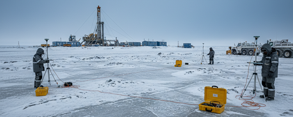
When the Drill Falls Silent, Physics Speaks
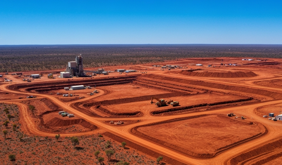
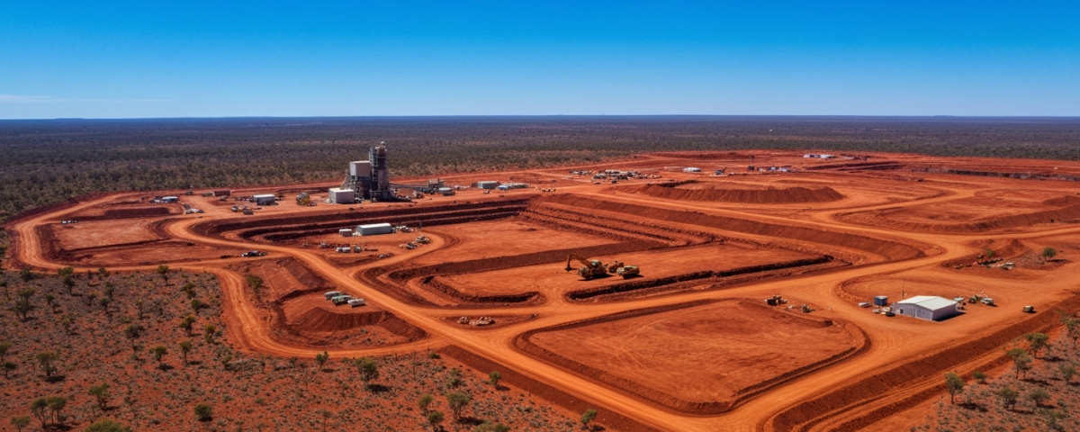
Anyone who follows junior explorers regularly encounters what looks like a simple formula: drilling program announcement → share price reaction → results. What this equation frequently overlooks is the phase that comes before all of that — the geophysical preliminary survey. In the Athabasca Basin in Canada’s Saskatchewan province, the world’s most significant high-grade uranium district, that preliminary survey is increasingly no longer an optional step, but a hallmark of disciplined exploration management.
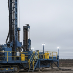
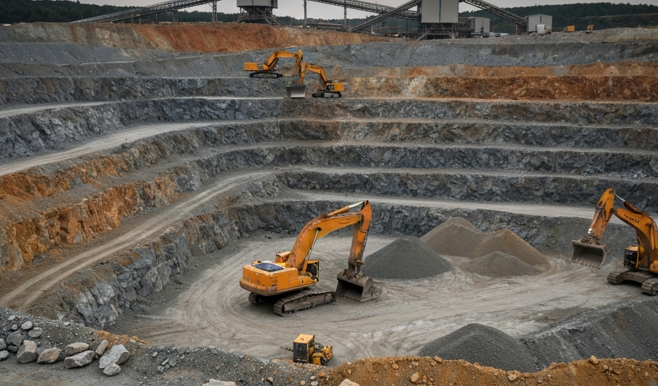
The reason is straightforward: drilling is expensive. A single drill meter in this district can cost anywhere from CAD 150 to more than CAD 400, depending on depth and logistics. With target depths of 600 to 1,000 meters — typical for the unconformity-hosted uranium deposits of the Athabasca Basin — a single borehole can quickly run into several hundred thousand dollars. A dry hole drilled without a structured preparatory phase can destroy capital that a junior company spent months or even years accumulating.
Unconformity, Conductivity, and the Logic of the Subsurface
The Athabasca Basin has a geological characteristic that makes geophysical methods particularly valuable: the most economically significant uranium occurrences lie at or near the so-called unconformity — the contact zone between the older basement rocks and the younger sandstones of the basin. Hydrothermal fluids once transported uranium along fault zones and fluid pathways, depositing it wherever chemical conditions were favorable.
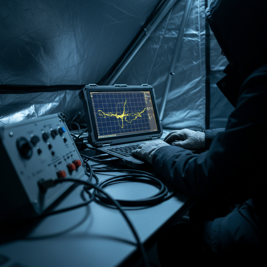
Critically for geophysics: these fluid pathways leave traces in the form of alteration — the chemical transformation of the host rock. Altered rock has different electrical properties than unaltered material. It conducts electrical current more readily or less readily, and it responds differently to induced electromagnetic fields. That is precisely what geophysicists measure using methods such as ground-based TDEM (Time Domain Electromagnetics) or surface EM profiles: they map conductivity anomalies — zones where the subsurface behaves electrically out of the ordinary.
A strong conductivity anomaly is not direct proof of uranium — uranium itself is barely detectable electrically. But the altered, graphite-rich environment in which uranium typically occurs in the Athabasca Basin very much is. The anomaly therefore signals: something happened here. And that “something” is often the first substantive indication of a zone worth exploring further.
How Geophysics Changes the Risk-Reward Profile
To understand how important this preparatory step is, consider the parallel to medical diagnostics: an imaging scan informs the surgical plan before the operation begins. Without it, you operate in the dark. Geophysics serves the same function for the exploration geologist. It reduces guesswork.
In concrete terms, a systematic geophysical preliminary survey changes exploration in several material ways. It allows a company to prioritize targets rather than drill every conspicuous structure across a license area, filtering the most promising anomalies and ranking them. It provides EM data that helps model the dip and spatial position of an anomaly, which then influences where and at what angle a borehole is collared. It also gives institutional investors and capital providers something concrete to evaluate when a drilling program is announced; a program preceded by detailed geophysical data is far easier to defend in financing rounds than one based solely on historical mapping or geological inference.
In the Athabasca Basin, several junior companies now operate this way. They conduct a geophysical campaign, develop targets from it, and only then drill. This is not a universal standard — companies still announce drilling programs without prior geophysics, and historical data can serve a similar function. But the trend toward disciplined sequencing is visible.
| Exploration Step | Method | Objective |
|---|---|---|
| Area reconnaissance | Airborne EM / Magnetics | Identify large-scale structures and anomaly corridors |
| Target generation | Ground TDEM / EM profiles | Spatially refine and prioritize anomalies |
| Drill-hole planning | 3D modeling | Optimize dip angle, depth, and borehole location |
| Drilling | Diamond core drilling | Physical sample collection, geological verification |
What Investors Can Read from the Geophysical Groundwork
For beginners reading press releases from junior explorers, a few concrete points are worth watching. When a company announces that it will conduct a geophysics campaign before drilling, that signals a structured approach. It suggests management is not arbitrarily putting shareholders’ capital into the ground. A drilling announcement made without any geophysical basis warrants skepticism; the absence of a grounding rationale is itself information.
It is also worth examining consistency. Does a company conduct geophysics systematically across multiple exploration phases, or was it a one-off step? Is the geophysical interpretation explained transparently in technical reports, or does disclosure amount to a single graphic without context? Such details separate well-documented exploration programs from announcements driven mainly by PR.
The institutional capital market for uranium juniors is selective. In phases when money tightens, companies with methodical approaches gain relative advantage when raising funds. This is not because geophysics guarantees success, but because it demonstrates professional rigor in how targets were selected and capital will be deployed.
Methodology as a Differentiator in the Athabasca Competition
The Athabasca Basin is not only geologically unique — it is also a fiercely competitive exploration arena where dozens of junior companies vie for permits, capital, and attention. In this environment, technical discipline matters. Geophysical methodology is verifiably documented in reports, follows a traceable physical logic, and permits at least a partially objective assessment of a company’s strategy. It is one of the few early-signal indicators that can be evaluated qualitatively, even without deep geological expertise.
Those who understand why the earth is made to speak before drilling begins will read exploration news releases with different eyes.
Key Terms at a Glance
- TDEM (Time Domain Electromagnetics)
- A geophysical measurement method in which a brief electromagnetic pulse is transmitted into the ground. The time-dependent response of the subsurface allows conclusions to be drawn about electrical conductivity — and thereby about zones of altered rock.
- Conductivity Anomaly
- An area in the subsurface that conducts electrical current significantly more readily or less readily than the surrounding rock. In the Athabasca Basin, often an indirect indicator of graphitized or altered structures that may be associated with uranium mineralization.
- Unconformity
- A geological contact surface between two rock units of differing ages. In the Athabasca Basin, it denotes the boundary between the older basement rocks and the younger sediments — a preferred zone for unconformity-hosted uranium deposits.
- Alteration
- Chemical transformation of rocks by hydrothermal fluids. In the exploration context, it serves as an indicator: strongly altered rock along fault zones can point to former fluid pathways — and thus to potential mineralization zones.
- Target Generation
- The process of deriving specific drill targets from geophysical, geochemical, and geological data. Rigorous target generation reduces the likelihood of dry holes and increases the efficiency of capital deployment.
- Inferred Resource
- Under NI 43-101, the category with the lowest degree of geological confidence within the resource classification system. It is based on limited drill points and indirect evidence — and must be clearly distinguished from “Reserves” (Proven / Probable), which require demonstrated economic and technical feasibility.
- Unconformity-Hosted Deposit
- A deposit type in which uranium mineralization occurs at or near the unconformity between basement rock and basin sediment. Characteristic of the Athabasca Basin; known for very high grades, but also for comparatively large exploration depths.
⚠️ Important notice: This article is for informational and educational purposes only. It does not constitute investment advice, a recommendation, or a solicitation to buy or sell any security. Investments in small-cap exploration and mining companies carry a high risk, including the potential total loss of capital. Before making any investment decision, consult a registered financial advisor and conduct your own analysis. Boersen Post Team is not responsible for decisions taken based on the content published here.