
PEA Economics: How By-Products Can Transform a REE Project
June 17, 2026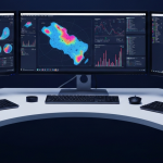
Algorithms as Prospectors: AI in Uranium Exploration
June 17, 2026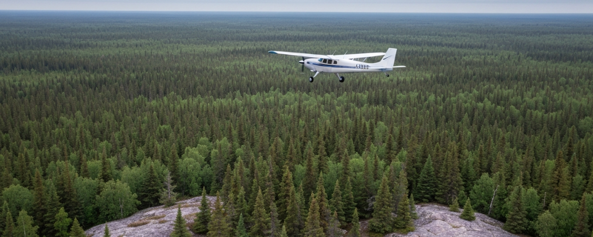

When data flies before drills turn
In commodity exploration, drilling too early is an expensive habit. Depending on depth, geology, and how remote the site is, a single drill hole costs anywhere from CAD 50,000 to several hundred thousand dollars. Measuring and mapping first can substantially improve the odds of a useful hit, at a fraction of that cost.
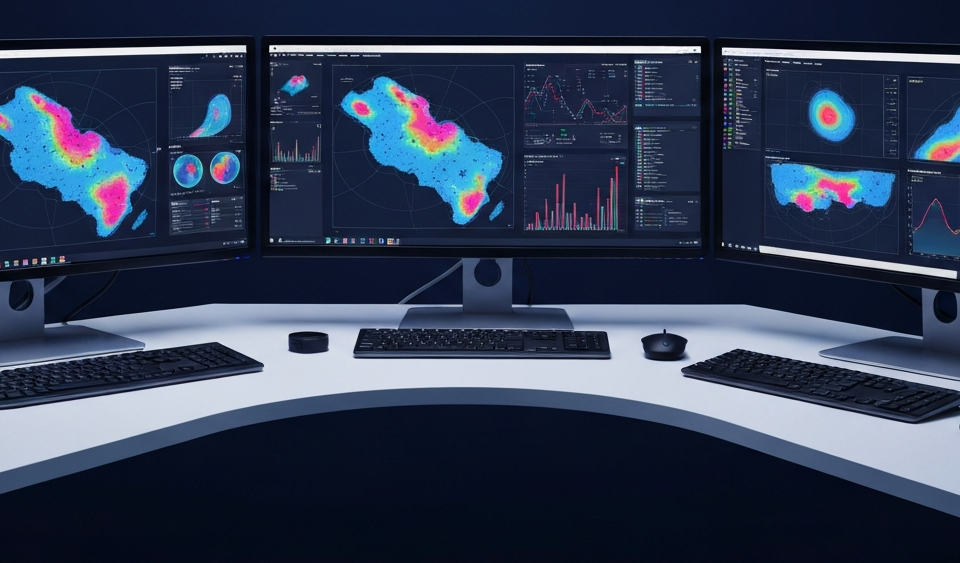
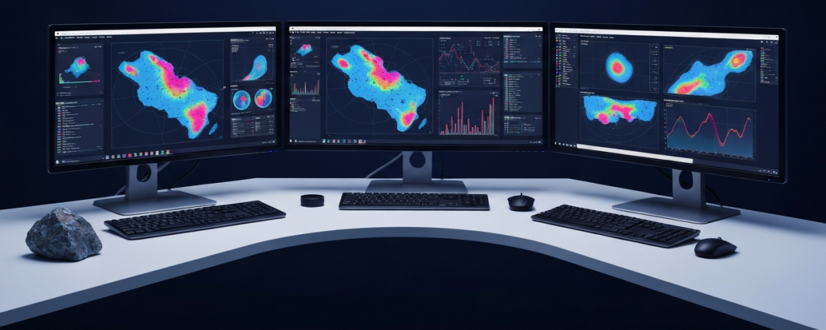
That is the logic behind airborne surveys. A specially equipped fixed-wing aircraft or helicopter is flown at low altitude over an exploration area, carrying an array of sensor systems that capture physical properties of the subsurface — magnetism, electrical conductivity, gravity, natural radioactivity — without touching a meter of drill pipe. The result is a dataset that makes anomalous zones visible: areas where mineral deposits may be present.
For rare earth element (REE) projects in geologically complex regions such as Ontario, Canada, this approach fits well. The mineral systems that host REE, including carbonatitic intrusions and pegmatites, produce characteristic geophysical signatures that show up from the air before they appear in drill core.
From overview to drill target: how exploration phases interlock
Modern mineral exploration follows a process geologists describe as a funnel: the more data available, the smaller the search area becomes, and the more precisely drilling can be targeted.
It starts with a regional assessment: historical data, satellite imagery, rock samples, and initial geophysical overviews are compiled to narrow down the area of interest. Aerial measurements then follow over that delineated area. Magnetic and electromagnetic (EM) data provide a three-dimensional picture of the subsurface, and anomalies are prioritized as drill targets. Only at that point are drill holes placed, precisely on those prioritized targets rather than on geological instinct.
An airborne survey covering several hundred square kilometers typically costs a single-digit number of millions of Canadian dollars, sometimes considerably less. A single diamond drill hole on a poorly defined target can consume the same amount without yielding usable geological insight.
What magnetics, EM, and radiometrics reveal in the REE context
Different geophysical methods suit different commodities, and in REE projects the relationship between measurements matters more than any single technique read in isolation.
Rare earth mineralizations frequently occur alongside carbonatites, igneous rocks that create magnetic contrasts against the surrounding basement rock. A magnetic anomaly can point to such an intrusion without confirming REE, but it is a reasonable first indicator. Electromagnetics works differently: it measures the electrical conductivity of the subsurface, and certain mineral phases associated with REE, or hydrothermal alteration zones, produce conductive structures that register as EM anomalies.
Radiometrics is the most direct of the three. Many REE minerals, particularly thorium-bearing species such as monazite, are weakly radioactive, so an airborne radiometric system can image the target substance in a near-direct way rather than inferring it from surrounding geology. This is relatively rare in geophysical work, where most signals are indirect.
By combining these methods, exploration geologists build a ranked list of drill targets. Going from anomaly to target is painstaking work, and when done carefully it is also where capital is best preserved.
| Geophysical Method | Relevance for REE | Typical Anomaly Source |
|---|---|---|
| Magnetometry | High | Carbonatitic intrusions, pegmatites |
| Electromagnetics (EM) | Medium–High | Conductive alteration zones, structural controls |
| Radiometrics | High (direct) | Monazite, thorium-bearing REE minerals |
Ontario as an REE exploration jurisdiction
The Canadian Shield, which covers large parts of Ontario, has long been recognized as a host environment for various mineral systems, including REE-bearing carbonatites. Projects here benefit from well-established permitting frameworks and decades of mining legislation, so regulatory risk is manageable in a way it simply is not in frontier jurisdictions.
Ontario is also not unexplored territory. Historical drill profiles from the 1970s and 1980s, along with government geological mapping, exist for many areas. A modern airborne survey can reinterpret that older data because current EM systems operate at significantly higher resolution than the instruments of earlier decades. This reinterpretation angle tends to get less attention than it deserves in Ontario REE projects.
A useful parallel comes from uranium exploration in Saskatchewan’s Athabasca Basin, where airborne EM surveys during the 1990s and 2000s led to the discovery of several high-grade uranium deposits. Without geophysical reconnaissance, many of those targets would have remained hidden beneath thick sandstone, invisible to surface geology alone. The starting conditions for REE in Ontario are comparable: the potential rarely lies at the surface.
What methodological discipline signals to small-cap investors
For investors following junior explorers in the REE segment, project quality has direct implications for dilution risk and the timeline to a potential resource definition under NI 43-101.
An explorer that runs geophysics first, defines targets from the data, and then drills accordingly protects its treasury better than one that drills without prior reconnaissance. For small companies with limited cash, this is not a stylistic preference. Every unnecessary drill hole means a new capital raise, and every new capital raise means dilution for existing shareholders.
That said, a positive airborne survey does not prove an economic deposit. It is a data-supported indication, nothing more. Between a geophysical anomaly and an NI 43-101-compliant resource typically lie several years, dozens of drill holes, and considerable costs. Investors who lose sight of that gap tend to fare poorly in this sector.
In a segment where most projects fail, the quality of early-stage work is something an outside investor can actually assess without insider access. Worth checking, but not a reason to buy on its own.
Key terms in geophysical exploration
- Airborne survey
- A geophysical measurement conducted from the air, in which a fixed-wing aircraft or helicopter equipped with sensors is flown over an exploration area to capture physical properties of the subsurface without any drilling.
- Anomaly
- A localized deviation in a geophysical measurement field (e.g., elevated magnetism, elevated radioactivity) that indicates a change in the subsurface and can be interpreted as a possible indicator of mineral structures.
- Target (drill target)
- A prioritized area identified through data analysis as a potential location for a drill hole. Target quality depends on the volume and consistency of the available geophysical and geological indicators.
- Carbonatite
- A rare igneous rock type with an unusually high carbonate content. Carbonatites are considered the world’s most important primary source of rare earth mineralizations and produce characteristic geophysical signatures.
- NI 43-101
- Canadian regulatory standard for technical reports on mineral properties. It draws a strict distinction between resources (Inferred, Indicated, Measured) and reserves (Probable, Proven); these terms are not interchangeable.
- Exploration funnel
- A description of the stepwise exploration process: starting from a large regional study area, successive rounds of data collection progressively narrow the area until targeted drilling can be conducted on clearly defined targets.
- Radiometrics
- A geophysical method that measures the natural gamma radiation of the subsurface. Particularly relevant for REE projects, as minerals such as monazite contain thorium and are therefore weakly radioactive, making them detectable from the air.
⚠️ Important notice: This article is for informational and educational purposes only. It does not constitute investment advice, a recommendation, or a solicitation to buy or sell any security. Investments in small-cap exploration and mining companies carry a high risk, including the potential total loss of capital. Before making any investment decision, consult a registered financial advisor and conduct your own analysis. Boersen Post Team is not responsible for decisions taken based on the content published here.

