
Tungsten: Why a Niche Metal Is Suddenly in Demand
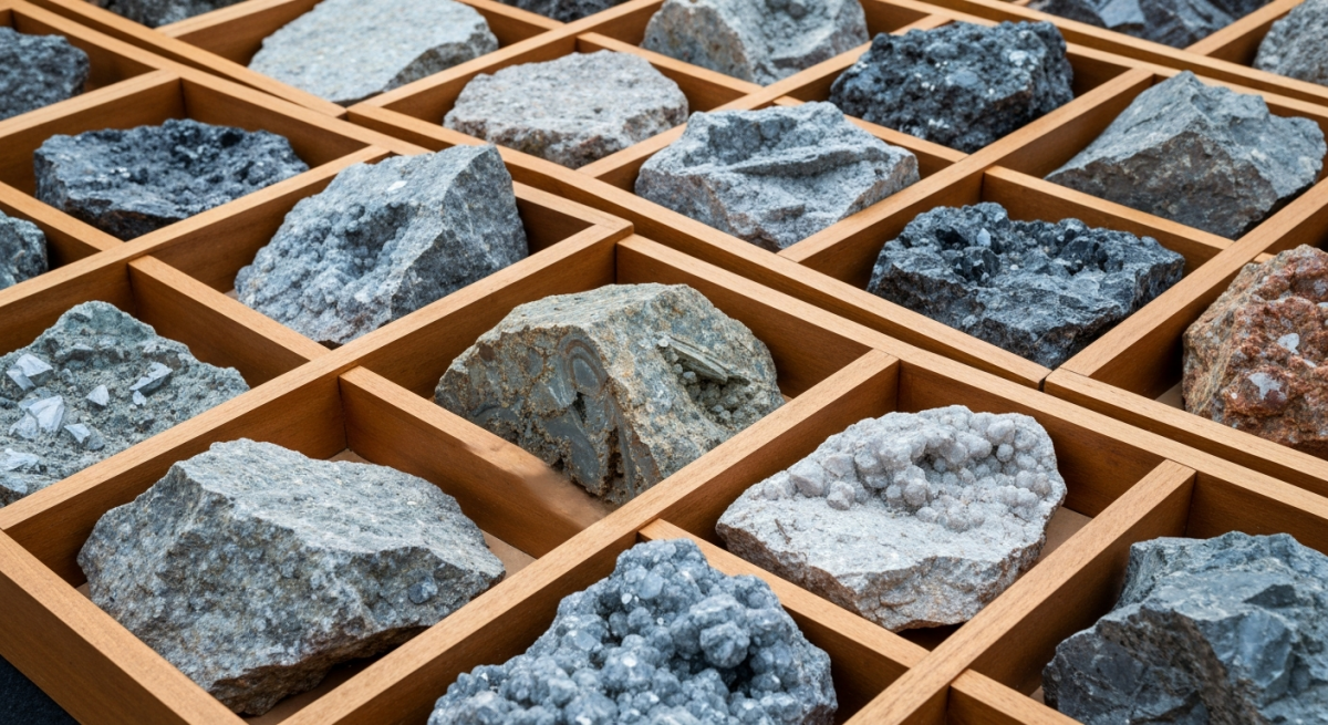
June 8, 2026Mineral Resource Estimates: What the Numbers Really Mean
June 8, 2026

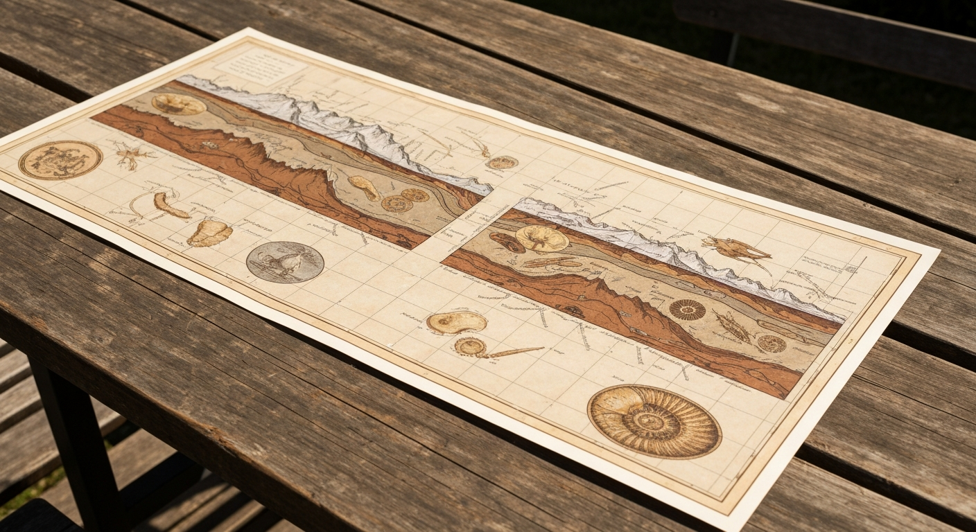
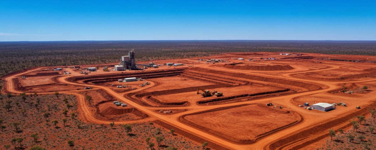
When the Air Reveals More Than the Rock
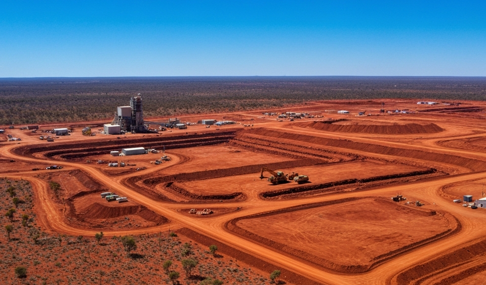
In uranium exploration, there is a simple fact that costs money: drilling is expensive. A single borehole runs anywhere from $50,000 to several hundred thousand dollars depending on depth, geology, and terrain access. For a junior explorer with a $2 million budget, each poorly placed hole wastes investor capital that could have gone elsewhere.
This is where airborne radiometric surveys enter the picture. A small fixed-wing aircraft or helicopter fitted with gamma-ray detectors flies at low altitude over the target area. The sensors pick up natural gamma radiation from the subsurface. Uranium and its decay products—thorium and potassium—emit a signature that these detectors can measure from the air.
The result is a detailed map showing where radiation is strongest. That map answers a basic question: where is drilling actually worth doing?
Steps, Not Leaps: The Logic of Multi-Stage Exploration
Understanding why airborne surveys matter for small-cap uranium explorers requires understanding how modern exploration actually works. It follows a funnel approach: each step is designed to shrink the search area and lower risk before moving to the next, more expensive phase.
Stage one uses existing data: geological maps, old drilling logs, satellite images. Stage two brings in geophysical surveys. Only in stage three does actual drilling begin, and by then the targets have already been filtered through multiple tests.
The money math is straightforward. An airborne survey covering 50,000 hectares costs a fraction of what drilling that same area would. If the survey rules out three out of five zones, the company saves millions in capital and can put it toward targets that actually look promising.
Radiometrics, Photogrammetry, and Putting Data Together
Most modern exploration programs now pair radiometric work with photogrammetry, which builds precise 3D terrain models from aerial images. Together they create two layers of information: the geochemical fingerprint below ground and the exact shape of the surface above it.
Topography matters because uranium in sedimentary basins clusters along specific geological boundaries. Think of ancient river channels or porous sandstone layers. The surface sometimes reflects these buried structures. A trained geologist can therefore say more than just “anomaly here”—they can say “this anomaly fits the shape of a roll-front deposit.”
Consider a practical analogy: you want to find a certain type of business in an unfamiliar city. You would not walk every block. Instead, you check a map showing commercial zones, then look at Street View for the most promising areas, and only then visit in person. Exploration follows the same logic.
After the flight, software processes the raw data over a period of weeks. The resulting anomaly maps are laid over geological models. This work changes how drilling is planned.
| Exploration Stage | Method | Relative Cost |
|---|---|---|
| 1 – Desk Study | Geological maps, archival data | Very low |
| 2 – Geophysics / Geochemistry | Airborne survey, soil sampling | Low to moderate |
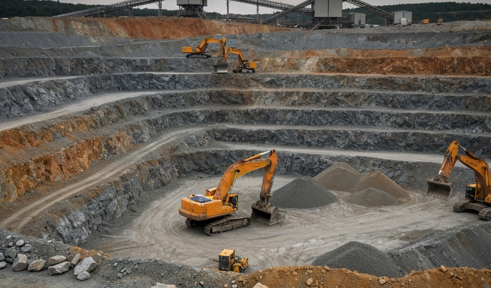
| 3 – Initial Drilling | RC or diamond drilling | High |
| 4 – Resource Definition | Expanded drilling program | Very high |
What This Means for Small-Cap Investors
For people new to junior uranium explorers, this methodology matters because it shapes what company announcements actually tell you. The goal is not to time buy or sell decisions, but to read the news with clearer eyes.
When a company announces an airborne survey is complete, that is a milestone but not proof of a resource. The announcement becomes meaningful when it describes specific anomalies and lays out drill targets. The shift from geophysics to drilling is where the information quality jumps.
Companies that consistently follow the funnel approach show disciplined capital management. Those that skip straight to drilling without geophysical groundwork may signal shareholder pressure or a management team chasing fast results. Both can be red flags.
Small-cap shares tend to swing sharply on exploration news in both directions. Investors who know that a “strong airborne result” is not proof of ore can judge these price moves more fairly.
History from other commodities shows the principle. Magnetic susceptibility mapping, another airborne method, uncovered several major gold discoveries in Canada during the 1990s. But for each discovery, dozens of mapped anomalies turned out to be barren when drilled. Most geophysical anomalies do not become deposits.
Reading the Data
Airborne surveys are now routine in uranium exploration. Explorers use them because capital is tight, investors want evidence before writing checks, and the technology has gotten cheaper and more precise. Drone-based systems are already replacing manned aircraft in many areas, cutting costs further and allowing more frequent surveys.
The real lesson for investors watching this sector is simple: exploration is a process, not a moment. Every method—from aerial survey to drill core—adds one more piece of information on the long path between hypothesis and proof. Understanding this process changes how you read company news. You become more skeptical but also more informed.
Key Terms Explained
- Airborne Radiometric Survey
- Aircraft or helicopters equipped with gamma-ray detectors measure natural radioactivity from above. This allows large areas to be mapped for anomalies before drilling begins, at lower cost than ground-based methods.
- Anomaly (geophysical)
- A location where measured values differ noticeably from the regional average. An anomaly suggests something worth investigating but is not proof of a deposit.
- Photogrammetry
- Creating precise 3D terrain models from aerial photographs. In exploration, it adds topographic detail to radiometric data, making buried geological structures more visible.
- Roll-Front Deposit
- A type of uranium deposit found in sedimentary basins, where groundwater carries uranium to a geochemical boundary and concentrates it. Common in shallow sandstone layers.
- Exploration Funnel Model
- A framework in which each exploration stage narrows focus and reduces risk before deploying more expensive methods. The goal is to use capital efficiently by testing ideas before committing large sums.
- RC Drilling (Reverse Circulation)
- A drilling method using compressed air to bring crushed rock to the surface quickly and cheaply. Faster than diamond drilling but provides less detailed core samples.
- Capital Efficiency in Junior Mining
- How effectively a small exploration company spends the money it raises. Considered a key measure of management quality.
⚠️ Important notice: This article is for informational and educational purposes only. It does not constitute investment advice, a recommendation, or a solicitation to buy or sell any security. Investments in small-cap exploration and mining companies carry a high risk, including the potential total loss of capital. Before making any investment decision, consult a registered financial advisor and conduct your own analysis. Boersen Post Team is not responsible for decisions taken based on the content published here.